2010
NT7841 : Turnip field at Whitrig
taken 14 years ago, near to Orange Lane, Scottish Borders, Scotland
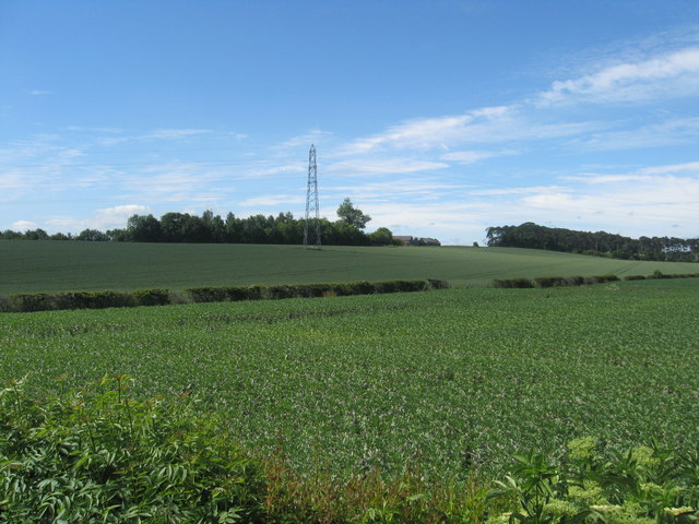
Turnip field at Whitrig
Off the A697 road north of Coldstream.
 Map © Crown Copyright")
TIP: Click the map for more Large scale mapping
- Grid Square
- NT7841, 8 images (more nearby 🔍)
- Photographer
- James Denham (more nearby)
- Date Taken
- Monday, 21 June, 2010 (more nearby)
- Submitted
- Monday, 21 June, 2010
- Subject Location
-
OSGB36:
 NT 786 418 [100m precision]
WGS84: 55:40.1645N 2:20.5069W - Camera Location
-
OSGB36: NT 786 419
- View Direction
- South-southwest (about 202 degrees)