2010
SD4686 : The road to Rawsons
taken 14 years ago, near to The Howe, Cumbria, England
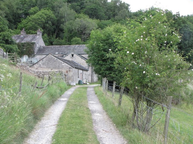
The road to Rawsons
A large farmhouse with attached buildings under the eastern slopes of Whitbarrow
 Map © Crown Copyright")
TIP: Click the map for more Large scale mapping
- Grid Square
- SD4686, 9 images (more nearby 🔍)
- Photographer
- K A (more nearby)
- Date Taken
- Saturday, 19 June, 2010 (more nearby)
- Submitted
- Monday, 21 June, 2010
- Subject Location
-
OSGB36:
 SD 463 860 [100m precision]
WGS84: 54:16.0366N 2:49.5326W - Camera Location
-
OSGB36: SD 463 860
- View Direction
- NORTH (about 0 degrees)