2010
SS9368 : Lane to St Donat's Church
taken 14 years ago, near to St Donat's, The Vale of Glamorgan/Bro Morgannwg, Wales
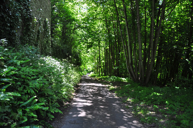
Lane to St Donat's Church
A very steep hill with broadleafed woodland to the right and the walls of the castle to the left.
 Map © Crown Copyright")
TIP: Click the map for more Large scale mapping
- Grid Square
- SS9368, 56 images (more nearby 🔍)
- Photographer
- Mick Lobb (more nearby)
- Date Taken
- Monday, 21 June, 2010 (more nearby)
- Submitted
- Monday, 21 June, 2010
- Subject Location
-
OSGB36:
 SS 934 682 [100m precision]
WGS84: 51:24.1674N 3:31.9803W - Camera Location
-
OSGB36: SS 935 682
- View Direction
- Southwest (about 225 degrees)