2010
TL7367 : Four Acre Belt
taken 14 years ago, 3 km from Kentford, Suffolk, England
This is 1 of 2 images, with title Four Acre Belt in this square
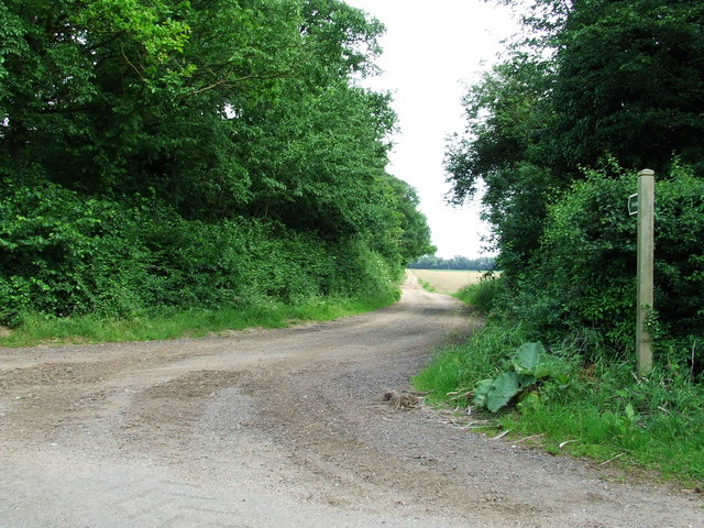
Four Acre Belt
This footpath leads from the road between Kentford to Cavenham, alongside Four Acre Belt, towards Barrow Suffolk.
 Map © Crown Copyright")
TIP: Click the map for more Large scale mapping
- Grid Square
- TL7367, 8 images (more nearby 🔍)
- Photographer
- Keith Evans (more nearby)
- Date Taken
- Sunday, 13 June, 2010 (more nearby)
- Submitted
- Monday, 21 June, 2010
- Subject Location
-
OSGB36:
 TL 735 673 [100m precision]
WGS84: 52:16.6140N 0:32.5475E - Camera Location
-
OSGB36: TL 735 673
- View Direction
- Southeast (about 135 degrees)