2010
NZ0542 : Lumley Ling Wood
taken 14 years ago, 3 km from Waskerley, County Durham, England
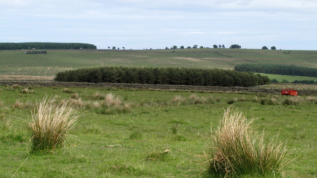
Lumley Ling Wood
Lumley Ling Wood is a plantation amid rough pasture high above the valley of the Waskerley Burn, a tributary of the River Wear.
 Map © Crown Copyright")
TIP: Click the map for more Large scale mapping
- Grid Square
- NZ0542, 2 images (more nearby 🔍)
- Photographer
- Trevor Littlewood (more nearby)
- Date Taken
- Sunday, 20 June, 2010 (more nearby)
- Submitted
- Monday, 21 June, 2010
- Subject Location
-
OSGB36:
 NZ 055 422 [100m precision]
WGS84: 54:46.5028N 1:54.9614W - Camera Location
-
OSGB36: NZ 050 420
- View Direction
- East-northeast (about 67 degrees)