2010
NY6438 : Cairn and Shelter, Knapside Hill
taken 14 years ago, 3 km from Melmerby, Cumbria, England
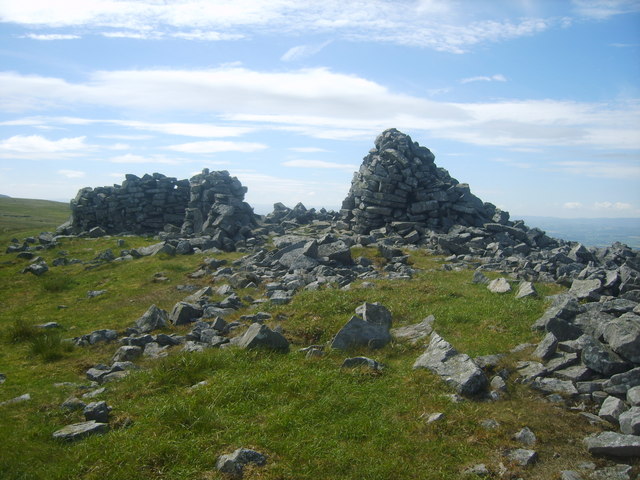
Cairn and Shelter, Knapside Hill
Formed from a rash of stones on the top above Melmberby High Scar
 Map © Crown Copyright")
TIP: Click the map for more Large scale mapping
- Grid Square
- NY6438, 23 images (more nearby 🔍)
- Photographer
- Michael Graham (more nearby)
- Date Taken
- Sunday, 20 June, 2010 (more nearby)
- Submitted
- Tuesday, 22 June, 2010
- Subject Location
-
OSGB36:
 NY 646 384 [100m precision]
WGS84: 54:44.3913N 2:33.0532W - Camera Location
-
OSGB36: NY 645 384
- View Direction
- EAST (about 90 degrees)