2010
SD6248 : A Tributary of Hareden Brook
taken 14 years ago, 3 km from Hareden, Lancashire, England
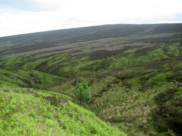
A Tributary of Hareden Brook
One of the many steep gullies that combine to form Hareden Brook.
 Map © Crown Copyright")
TIP: Click the map for more Large scale mapping
- Grid Square
- SD6248, 11 images (more nearby 🔍)
- Photographer
- Chris Heaton (more nearby)
- Date Taken
- Tuesday, 15 June, 2010 (more nearby)
- Submitted
- Tuesday, 22 June, 2010
- Subject Location
-
OSGB36:
 SD 622 485 [100m precision]
WGS84: 53:55.8798N 2:34.5674W - Camera Location
-
OSGB36: SD 622 484
- View Direction
- East-northeast (about 67 degrees)