2010
TR1244 : Spot the gap !!
taken 14 years ago, near to Sixmile, Kent, England
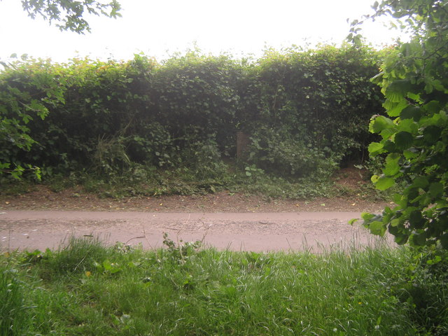
Spot the gap !!
A footpath from TR1244 : Bridleway and footpath junction near Maxted Street crosses Misling Lane and through the hedge towards Stone Street.
Beside the concrete path marker, a small gap could be found, to push through the hedge.
Beside the concrete path marker, a small gap could be found, to push through the hedge.
 Map © Crown Copyright")
TIP: Click the map for more Large scale mapping
- Grid Square
- TR1244, 8 images (more nearby 🔍)
- Photographer
- David Anstiss (more nearby)
- Date Taken
- Sunday, 20 June, 2010 (more nearby)
- Submitted
- Tuesday, 22 June, 2010
- Subject Location
-
OSGB36:
 TR 129 449 [100m precision]
WGS84: 51:9.8208N 1:2.6955E - Camera Location
-
OSGB36: TR 129 449
- View Direction
- East-southeast (about 112 degrees)