2010
SH3535 : Approaching the eastern boundary of the village of Efailnewydd
taken 14 years ago, near to Efailnewydd, Gwynedd, Wales
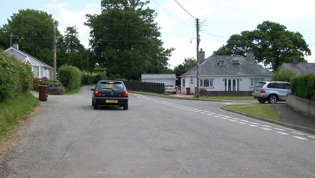
Approaching the eastern boundary of the village of Efailnewydd
 Map © Crown Copyright")
TIP: Click the map for more Large scale mapping
- Grid Square
- SH3535, 27 images (more nearby 🔍)
- Photographer
- Eric Jones (more nearby)
- Date Taken
- Thursday, 17 June, 2010 (more nearby)
- Submitted
- Tuesday, 22 June, 2010
- Subject Location
-
OSGB36:
 SH 354 359 [100m precision]
WGS84: 52:53.7597N 4:26.9025W - Camera Location
-
OSGB36: SH 353 359
- View Direction
- EAST (about 90 degrees)