2010
NN1615 : Forestry road above Glen Shira
taken 14 years ago, 5 km NNW of Cairndow, Argyll And Bute, Scotland
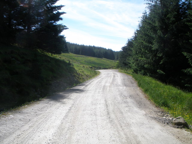
Forestry road above Glen Shira
 Map © Crown Copyright")
TIP: Click the map for more Large scale mapping
- Grid Square
- NN1615 (more nearby 🔍)
- Photographer
- John Ferguson (more nearby)
- Date Taken
- Sunday, 20 June, 2010 (more nearby)
- Submitted
- Wednesday, 23 June, 2010
- Subject Location
-
OSGB36:
 NN 163 156 [100m precision]
WGS84: 56:17.8730N 4:58.1705W - Camera Location
-
OSGB36: NN 164 157
- View Direction
- WEST (about 270 degrees)