2006
SW6931 : Lane to Hendra
taken 18 years ago, near to Trenear, Cornwall, England
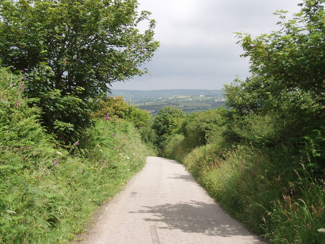
Lane to Hendra
An old mining area: chimneys on the horizon.
 Map © Crown Copyright")
TIP: Click the map for more Large scale mapping
- Grid Square
- SW6931, 9 images (more nearby 🔍)
- Photographer
- Sheila Russell (more nearby)
- Date Taken
- Wednesday, 28 June, 2006 (more nearby)
- Submitted
- Wednesday, 28 June, 2006
- Subject Location
-
OSGB36:
 SW 690 313 [100m precision]
WGS84: 50:8.2013N 5:14.0380W - View Direction
- North-northeast (about 22 degrees)