2006
SW6832 : Porkellis Moor
taken 18 years ago, near to Trenear, Cornwall, England
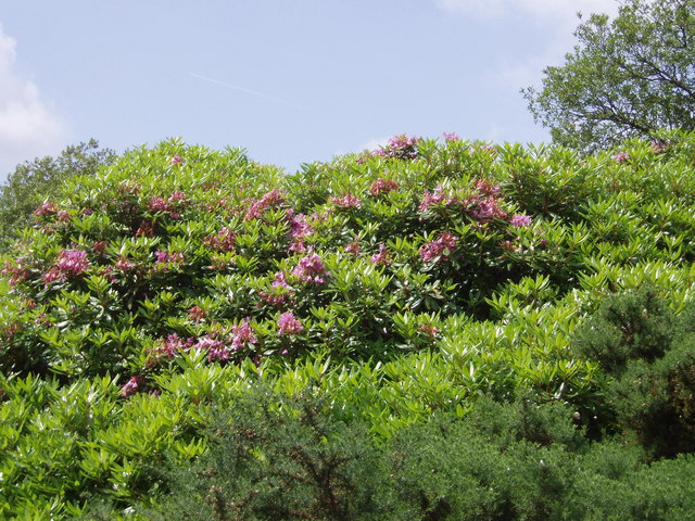
Porkellis Moor
Marshy land with small willows and rhododendrons. Former mining area.
 Map © Crown Copyright")
TIP: Click the map for more Large scale mapping
- Grid Square
- SW6832, 10 images (more nearby 🔍)
- Photographer
- Sheila Russell (more nearby)
- Date Taken
- Wednesday, 28 June, 2006 (more nearby)
- Submitted
- Wednesday, 28 June, 2006
- Subject Location
-
OSGB36:
 SW 688 322 [100m precision]
WGS84: 50:8.6815N 5:14.2384W - View Direction
- WEST (about 270 degrees)