2010
NH2001 : Loch Garry
taken 14 years ago, near to Greenfield, Highland, Scotland
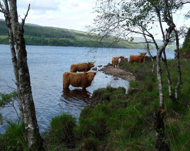
Loch Garry
The highland cattle are a Forestry Commission project to maintain biodiversity within Glengarry Forest (ref Link (Archive Link ) ).
 Map © Crown Copyright")
TIP: Click the map for more Large scale mapping
- Grid Square
- NH2001 (more nearby 🔍)
- Photographer
- Claire Pegrum (more nearby)
- Date Taken
- Tuesday, 22 June, 2010 (more nearby)
- Submitted
- Wednesday, 23 June, 2010
- Subject Location
-
OSGB36:
 NH 20660 01326 [1m precision]
WGS84: 57:4.0766N 4:57.5805W - Camera Location
-
OSGB36: NH 20660 01326
- View Direction
- Northeast (about 45 degrees)