2010
SK5932 : Uncultivated headland
taken 14 years ago, near to Bradmore, Nottinghamshire, England
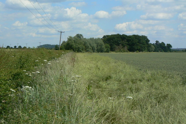
Uncultivated headland
Arable farmland seen from the bridleway to Barn Farm.
 Map © Crown Copyright")
TIP: Click the map for more Large scale mapping
- Grid Square
- SK5932, 33 images (more nearby 🔍)
- Photographer
- Alan Murray-Rust (more nearby)
- Date Taken
- Monday, 21 June, 2010 (more nearby)
- Submitted
- Wednesday, 23 June, 2010
- Subject Location
-
OSGB36:
 SK 5947 3264 [10m precision]
WGS84: 52:53.2762N 1:7.0557W - Camera Location
-
OSGB36: SK 5936 3261
- View Direction
- East-northeast (about 67 degrees)