2006
SW7338 : Potato Field
taken 18 years ago, near to Hendra, Cornwall, England
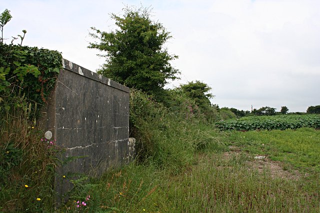
Potato Field
There is some sort of concrete bunker embedded in the hedge, origin and purpose unknown.
 Map © Crown Copyright")
TIP: Click the map for more Large scale mapping
- Grid Square
- SW7338, 5 images (more nearby 🔍)
- Photographer
- Tony Atkin (more nearby)
- Date Taken
- Wednesday, 28 June, 2006 (more nearby)
- Submitted
- Wednesday, 28 June, 2006
- Subject Location
-
OSGB36:
 SW 736 380 [100m precision]
WGS84: 50:11.9176N 5:10.4212W - View Direction
- WEST (about 270 degrees)