2006
ST8198 : Road to Upper Lutheredge Farm
taken 18 years ago, near to Horsley, Gloucestershire, England
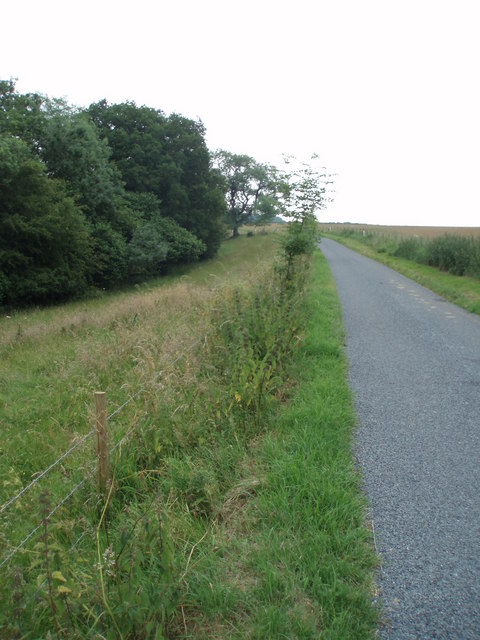
Road to Upper Lutheredge Farm
 Map © Crown Copyright")
TIP: Click the map for more Large scale mapping
- Grid Square
- ST8198, 6 images (more nearby 🔍)
- Photographer
- Sharon Loxton (more nearby)
- Date Taken
- Wednesday, 28 June, 2006 (more nearby)
- Submitted
- Wednesday, 28 June, 2006
- Subject Location
-
OSGB36:
 ST 816 986 [100m precision]
WGS84: 51:41.1512N 2:16.0534W - Camera Location
-
OSGB36: ST 814 987
- View Direction
- EAST (about 90 degrees)