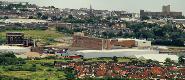
J3987 : Former Courtaulds factory, Carrickfergus
taken 14 years ago, near to Carrickfergus, Co Antrim, Northern Ireland
The line between Belfast York Road and Larne Harbour opened as far to Carrickfergus in 1848 and from Carrickfergus to Larne Harbour in 1862. There were stations at Belfast York Road (1848), Greencastle (1849/1916), Whitehouse (old station 1861/1906 replaced by a new station, further north 1906/1954), Whiteabbey (1848), Bleach Green 1934/1977), Jordanstown (by 1853), Trooperslane (by 1850), Mount (1925/72), Carrickfergus (old station 1848/62), Clipperstown (1925), Carrickfergus (1862), Barn (1925/77), Downshire (originally Downshire Park, 1925), Eden (1925/77), Kilroot (1862/77), Whitehead (first station 1863/64), Whitehead (second station 1864/77), Whitehead (1877), Whitehead Excursion (1907), Ballycarry (1862), Ballylig (now Magheramorne, 1862), Glynn (1864), Larne (1862/1974), Larne Town (new alignment, 1974) and Larne Harbour (1862).
York Road station closed in 1992, replaced by Yorkgate (on a different site) as part of the opening of the new cross-harbour line to Belfast Central.
The line between Belfast Central and Bleach Green Jct is also used by trains serving the Londonderry/Portrush lines.
Sources: Irish Railways Today (1967), the Northern Counties Railway (1973) and Johnsons Atlas & Gazetteer of the Railways of Ireland (1997).
- Grid Square
- J3987, 5 images (more nearby 🔍)
- Photographer
- Albert Bridge (more nearby)
- Date Taken
- Thursday, 24 June, 2010 (more nearby)
- Submitted
- Thursday, 24 June, 2010
- Subject Location
-
Irish:
 J 394 873 [100m precision]
WGS84: 54:42.8745N 5:50.2502W - Camera Location
-
Irish: J 367 868
- View Direction
- EAST (about 90 degrees)