2010
SH3845 : Gallt derw Farm
taken 14 years ago, near to Llanaelhaearn, Gwynedd, Wales
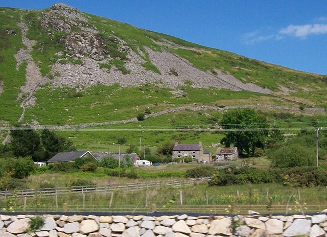
Gallt derw Farm
This farm, whose name means "Oak Hill", is an upland sheep farm.
 Map © Crown Copyright")
TIP: Click the map for more Large scale mapping
- Grid Square
- SH3845, 21 images (more nearby 🔍)
- Photographer
- Eric Jones (more nearby)
- Date Taken
- Thursday, 17 June, 2010 (more nearby)
- Submitted
- Thursday, 24 June, 2010
- Subject Location
-
OSGB36:
 SH 385 455 [100m precision]
WGS84: 52:58.9847N 4:24.3911W - Camera Location
-
OSGB36: SH 383 455
- View Direction
- East-northeast (about 67 degrees)