2010
ST7676 : 2010 : Barley field on the footpath to West Littleton
taken 14 years ago, near to West Littleton, South Gloucestershire, England
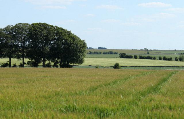
2010 : Barley field on the footpath to West Littleton
My first thought of the field middle distance was 'wheat', but oil seed rape is a similar colour this time of year. A closer look at the original image did nothing to resolve the issue, but my money is on wheat.
One thing is certain, the field between contains maize.
One thing is certain, the field between contains maize.
 Map © Crown Copyright")
TIP: Click the map for more Large scale mapping
- Grid Square
- ST7676, 12 images (more nearby 🔍)
- Photographer
- Maurice Pullin (more nearby)
- Date Taken
- Friday, 25 June, 2010 (more nearby)
- Submitted
- Saturday, 26 June, 2010
- Subject Location
-
OSGB36:
 ST 766 767 [100m precision]
WGS84: 51:29.3688N 2:20.2619W - Camera Location
-
OSGB36: ST 766 768
- View Direction
- South-southeast (about 157 degrees)