2010
SX7970 : Hillside above Farlacombe
taken 14 years ago, near to Bickington, Devon, England
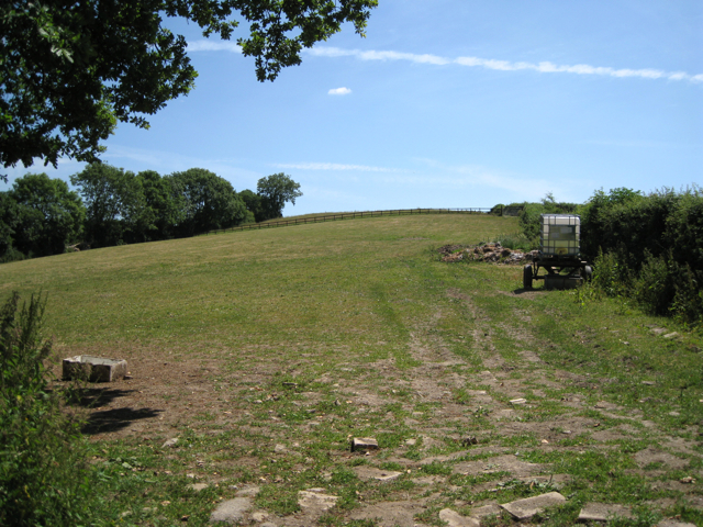
Hillside above Farlacombe
The hedge on the right is the parish boundary between Bickington, on this side, and Woodland on the other.
 Map © Crown Copyright")
TIP: Click the map for more Large scale mapping
- Grid Square
- SX7970, 25 images (more nearby 🔍)
- Photographer
- Robin Stott (more nearby)
- Date Taken
- Monday, 21 June, 2010 (more nearby)
- Submitted
- Saturday, 26 June, 2010
- Subject Location
-
OSGB36:
 SX 792 709 [100m precision]
WGS84: 50:31.5225N 3:42.3343W - Camera Location
-
OSGB36: SX 7913 7096
- View Direction
- EAST (about 90 degrees)