2010
NT9560 : The Inner Harbour, Burnmouth
taken 14 years ago, near to Burnmouth, Scottish Borders, Scotland
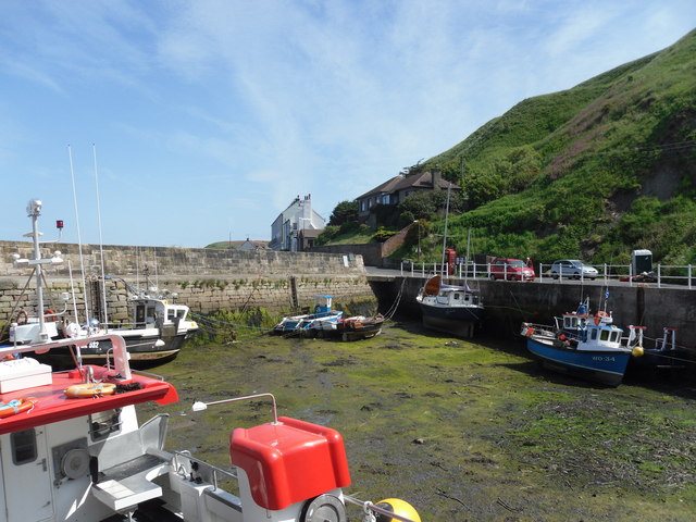
The Inner Harbour, Burnmouth
 Map © Crown Copyright")
TIP: Click the map for more Large scale mapping
- Grid Square
- NT9560, 147 images (more nearby 🔍)
- Photographer
- Iain Lees (more nearby)
- Date Taken
- Friday, 18 June, 2010 (more nearby)
- Submitted
- Sunday, 27 June, 2010
- Subject Location
-
OSGB36:
 NT 958 609 [100m precision]
WGS84: 55:50.4834N 2:4.0320W - Camera Location
-
OSGB36: NT 958 609
- View Direction
- Southeast (about 135 degrees)