2010
SK3655 : Fields in the Parish of South Wingfield
taken 14 years ago, near to Crich, Derbyshire, England
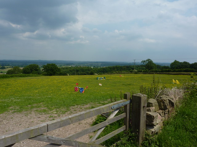
Fields in the Parish of South Wingfield
Near to Hill Top Farm, Park Head.
 Map © Crown Copyright")
TIP: Click the map for more Large scale mapping
- Grid Square
- SK3655, 15 images (more nearby 🔍)
- Photographer
- Peter Barr (more nearby)
- Date Taken
- Saturday, 26 June, 2010 (more nearby)
- Submitted
- Sunday, 27 June, 2010
- Subject Location
-
OSGB36:
 SK 362 552 [100m precision]
WGS84: 53:5.5673N 1:27.6538W - Camera Location
-
OSGB36: SK 360 551
- View Direction
- East-northeast (about 67 degrees)