2010
SU8318 : Graves at Didling
taken 14 years ago, near to Didling, West Sussex, England
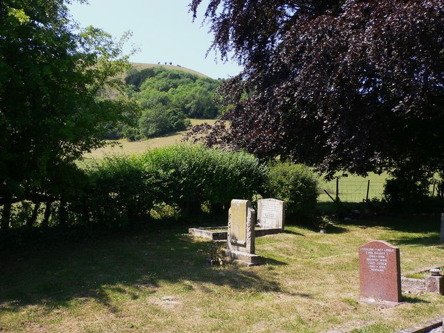
Graves at Didling
Treyford Hill is the high point of the South Downs visible beyond.
 Map © Crown Copyright")
TIP: Click the map for more Large scale mapping
- Grid Square
- SU8318, 98 images (more nearby 🔍)
- Photographer
- Shazz (more nearby)
- Date Taken
- Monday, 28 June, 2010 (more nearby)
- Submitted
- Monday, 28 June, 2010
- Subject Location
-
OSGB36:
 SU 834 181 [100m precision]
WGS84: 50:57.3776N 0:48.7776W - Camera Location
-
OSGB36: SU 835 181
- View Direction
- Southwest (about 225 degrees)