2010
NO4227 : High Street, Newport-on-Tay
taken 14 years ago, near to Newport-on-Tay, Fife, Scotland
This is 1 of 2 images, with title High Street, Newport-on-Tay in this square
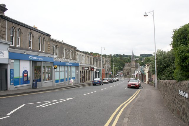
High Street, Newport-on-Tay
The main retail area of Newport.
The Scotmid Co-op chain was formed in 1981 following the merger of St Cuthbert's and Dalziel Societies which themselves date back to 1859 and 1863.
The Trinity United Free Church (opened 18th May, 1882) can be seen at the far end.
The Scotmid Co-op chain was formed in 1981 following the merger of St Cuthbert's and Dalziel Societies which themselves date back to 1859 and 1863.
The Trinity United Free Church (opened 18th May, 1882) can be seen at the far end.
 Map © Crown Copyright")
TIP: Click the map for more Large scale mapping
- Grid Square
- NO4227, 60 images (more nearby 🔍)
- Photographer
- Bob Embleton (more nearby)
- Date Taken
- Wednesday, 23 June, 2010 (more nearby)
- Submitted
- Monday, 28 June, 2010
- Subject Location
-
OSGB36:
 NO 420 278 [100m precision]
WGS84: 56:26.3390N 2:56.5153W - Camera Location
-
OSGB36: NO 420 278
- View Direction
- SOUTH (about 180 degrees)