2010
SJ8112 : Moated site at Blymhill
taken 14 years ago, near to Blymhill, Staffordshire, England
Moated site at Blymhill
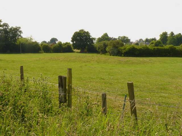
I will readily confess it's not that easy to make out in a photo (nor on the ground, to be honest) but there is a definite raised area in the middle of this field, which is presumably the site of the original farmhouse, surrounded by a (now dry) moat.
 Map © Crown Copyright")
TIP: Click the map for more Large scale mapping
- Grid Square
- SJ8112, 13 images (more nearby 🔍)
- Photographer
- Richard Law (more nearby)
- Date Taken
- Saturday, 26 June, 2010 (more nearby)
- Submitted
- Tuesday, 29 June, 2010
- Subject Location
-
OSGB36:
 SJ 811 120 [100m precision]
WGS84: 52:42.3526N 2:16.7984W - Camera Location
-
OSGB36: SJ 811 120
- View Direction
- North-northwest (about 337 degrees)