2010
NG9335 : Plantation South of River Attadale
taken 14 years ago, 3 km from Attadale, Highland, Scotland
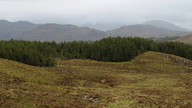
Plantation South of River Attadale
A number of significant streams feed N. into the R. Attadale as it nears its entry to Loch Carron. Forestry plantings occupy much of the space between several of them.
 Map © Crown Copyright")
TIP: Click the map for more Large scale mapping
- Grid Square
- NG9335, 7 images (more nearby 🔍)
- Photographer
- Trevor Littlewood (more nearby)
- Date Taken
- Friday, 28 May, 2010 (more nearby)
- Submitted
- Wednesday, 30 June, 2010
- Subject Location
-
OSGB36:
 NG 934 358 [100m precision]
WGS84: 57:21.9730N 5:26.1696W - Camera Location
-
OSGB36: NG 933 357
- View Direction
- Northeast (about 45 degrees)