2010
TQ4743 : Footpath towards Cow Lane
taken 14 years ago, near to Markbeech, Kent, England
This is 1 of 2 images, with title Footpath towards Cow Lane in this square
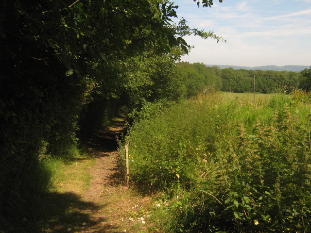
Footpath towards Cow Lane
This path leads from Uckfield Road, through Oak Wood and then towards Bramsell's Farm on the lane, near Markbeech.
 Map © Crown Copyright")
TIP: Click the map for more Large scale mapping
- Grid Square
- TQ4743, 23 images (more nearby 🔍)
- Photographer
- David Anstiss (more nearby)
- Date Taken
- Sunday, 27 June, 2010 (more nearby)
- Submitted
- Thursday, 1 July, 2010
- Subject Location
-
OSGB36:
 TQ 471 430 [100m precision]
WGS84: 51:10.0558N 0:6.1816E - Camera Location
-
OSGB36: TQ 471 430
- View Direction
- South-southeast (about 157 degrees)