2010
TQ3770 : Stumps Hill Lane
taken 14 years ago, near to Beckenham, Bromley, England
This is 1 of 5 images, with title Stumps Hill Lane in this square
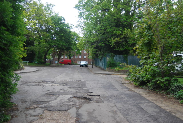
Stumps Hill Lane
Green Chain Walk
A network of walks from three points on the River Thames, including the Woolwich Flood Barrier, to Crystal Palace Park, linking together the open spaces of SE London.
Website: Link
See also Link
Capital Ring
The Capital Ring is a surprisingly green route that encircles London. Distance is 78miles; it threads together parks and open spaces, mostly following pleasant residential roads in between. The route is an initiative of the London Walking Forum. The route is very well signed, with a Big Ben logo TQ1678 : Three walk logos, Gallows Bridge. The route is a walkers equivalent of the North and South Circular roads. Link
 Map © Crown Copyright")
TIP: Click the map for more Large scale mapping
- Grid Square
- TQ3770, 140 images (more nearby 🔍)
- Photographer
- N Chadwick (more nearby)
- Date Taken
- Sunday, 9 May, 2010 (more nearby)
- Submitted
- Friday, 2 July, 2010
- Subject Location
-
OSGB36:
 TQ 374 706 [100m precision]
WGS84: 51:25.1140N 0:1.4732W - Camera Location
-
OSGB36: TQ 374 707
- View Direction
- East-southeast (about 112 degrees)