2010
TM2634 : Bridleway towards Fagbury Cliff
taken 14 years ago, near to Trimley st Mary, Suffolk, England
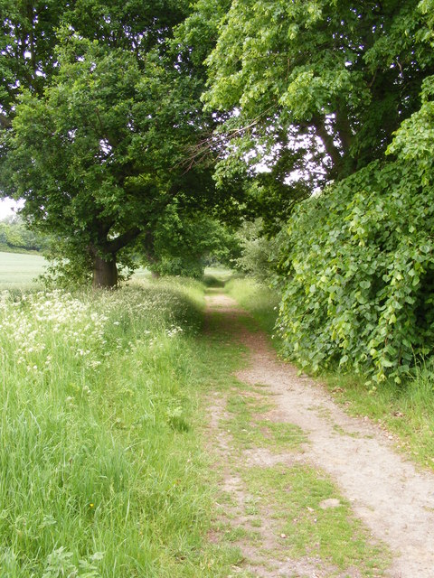
Bridleway towards Fagbury Cliff
To the left of the bridleway is still agricultural land but to the right is the embankment surrounding the western end of the container terminal.
 Map © Crown Copyright")
TIP: Click the map for more Large scale mapping
- Grid Square
- TM2634, 49 images (more nearby 🔍)
- Photographer
- Glen Denny (more nearby)
- Date Taken
- Saturday, 12 June, 2010 (more nearby)
- Submitted
- Saturday, 3 July, 2010
- Subject Location
-
OSGB36:
 TM 268 348 [100m precision]
WGS84: 51:57.9479N 1:18.0762E - Camera Location
-
OSGB36: TM 269 349
- View Direction
- Southwest (about 225 degrees)