2010
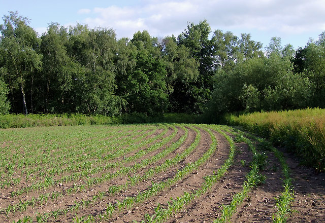
SK1313 : Maize field near Fradley, Staffordshire
taken 14 years ago, near to Fradley South, Staffordshire, England
This is 1 of 3 images, with title Maize field near Fradley, Staffordshire in this square
Maize field near Fradley, Staffordshire
Seen from the field-side south of the canal; the grid references given are correct but the 1:50000 map on this page is very approximate in that area. The field-side footpath is accessed by a stile by the lock bridge.
Update 2020: In 2010 the footpath was planted over with the maize crop, so walkers chose to use the edge of the field. More recent aerial imagery shows that the landowner does clear the public route to Gorse Lane across the field in a straight line.
Update 2020: In 2010 the footpath was planted over with the maize crop, so walkers chose to use the edge of the field. More recent aerial imagery shows that the landowner does clear the public route to Gorse Lane across the field in a straight line.
 Map © Crown Copyright")
TIP: Click the map for more Large scale mapping
- Grid Square
- SK1313, 137 images (more nearby 🔍)
- Photographer
- Roger D Kidd (more nearby)
- Date Taken
- Saturday, 19 June, 2010 (more nearby)
- Submitted
- Saturday, 3 July, 2010
- Subject Location
-
OSGB36:
 SK 136 136 [100m precision]
WGS84: 52:43.2404N 1:47.9459W - Camera Location
-
OSGB36: SK 136 137
- View Direction
- Southeast (about 135 degrees)