2010
SN7476 : View over the Devil's Bridge area from the Mynach valley
taken 14 years ago, near to Devil's Bridge, Ceredigion/Sir Ceredigion, Wales
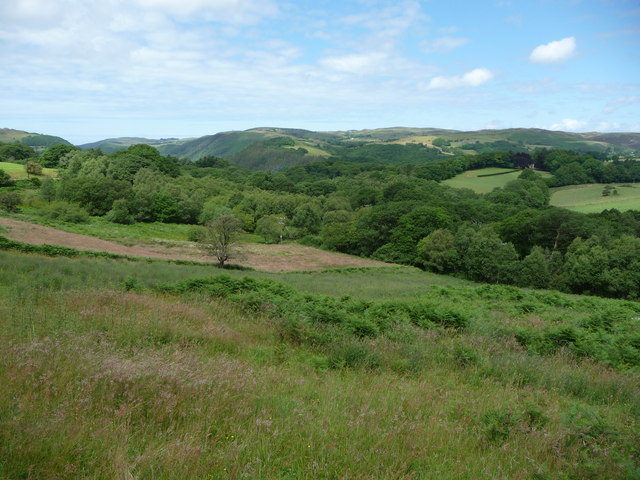
View over the Devil's Bridge area from the Mynach valley
View northwest over a rough pasture above the Mynach. Devil's Bridge is in the trees and the Afon Rheidol valley beyond.
 Map © Crown Copyright")
TIP: Click the map for more Large scale mapping
- Grid Square
- SN7476, 61 images (more nearby 🔍)
- Photographer
- Jeremy Bolwell (more nearby)
- Date Taken
- Saturday, 3 July, 2010 (more nearby)
- Submitted
- Saturday, 3 July, 2010
- Subject Location
-
OSGB36:
 SN 745 765 [100m precision]
WGS84: 52:22.3282N 3:50.6484W - Camera Location
-
OSGB36: SN 746 764
- View Direction
- Northwest (about 315 degrees)