2006
SU1428 : Approaching Salisbury city from the south
taken 18 years ago, near to Harnham, Wiltshire, England
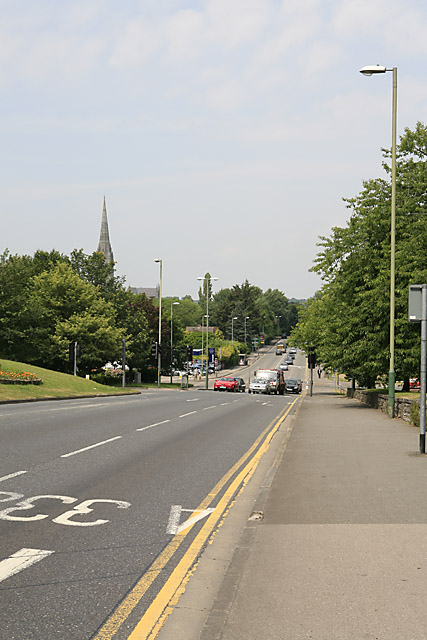
Approaching Salisbury city from the south
Foreground left is the island of a major roundabout joining the A3094 from Wilton, the A354 from Blandford, the A338 from Ringwood and the main dual carriageway which is Salisbury's ring road (ahead). This is how you get into Salisbury city from the south, and how you have to go if you simply want to take any of the roads north of Salisbury.
 Map © Crown Copyright")
TIP: Click the map for more Large scale mapping
- Grid Square
- SU1428, 107 images (more nearby 🔍)
- Photographer
- Peter Facey (more nearby)
- Date Taken
- Friday, 30 June, 2006 (more nearby)
- Submitted
- Sunday, 2 July, 2006
- Subject Location
-
OSGB36:
 SU 1450 2876 [10m precision]
WGS84: 51:3.4800N 1:47.6689W - View Direction
- NORTH (about 0 degrees)