2010
SO4496 : The Cross Dyke at High Park
taken 14 years ago, near to Woolstaston, Shropshire, England
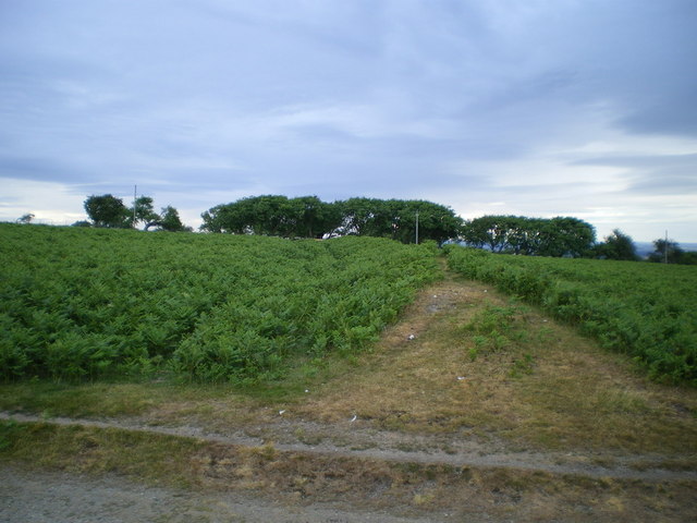
The Cross Dyke at High Park
One of several cross dykes on the Mynd; they are generally considered to be field boundaries of Bronze Age, rather than defensive earthworks.
 Map © Crown Copyright")
TIP: Click the map for more Large scale mapping
- Grid Square
- SO4496, 37 images (more nearby 🔍)
- Photographer
- Richard Law (more nearby)
- Date Taken
- Tuesday, 6 July, 2010 (more nearby)
- Submitted
- Tuesday, 6 July, 2010
- Subject Location
-
OSGB36:
 SO 443 966 [100m precision]
WGS84: 52:33.9055N 2:49.3187W - Camera Location
-
OSGB36: SO 443 966
- View Direction
- NORTH (about 0 degrees)