2010
TM4891 : Path on the south bank of the River Waveney
taken 14 years ago, near to Burgh st Peter, Norfolk, England
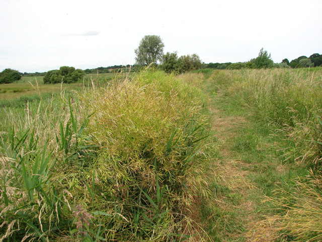
Path on the south bank of the River Waveney
The path seen in the foreground is the Angles Way long distance footpath which here follows the course of the River Waveney. In combination with the Peddars Way, Norfolk Coast Path and Weavers Way, the Angles Way forms the 227-mile Around Norfolk Walk. The route leads from Great Yarmouth by Breydon Water, along and near the River Waveney, passing around Oulton Broad, Beccles and Bungay, and Harleston and Diss, and then by the Little Ouse and onwards through heathland and marsh to Knettishall Heath in the Suffolk Brecks. Less than a mile distant to the west across the heath is the start of the Peddars Way and finish of the Icknield Way Path. At Bungay, there is a link into the waymarked Bigod Way (10 miles) which is a circular route around the town, the site of Bigod's Castle.
 Map © Crown Copyright")
TIP: Click the map for more Large scale mapping
- Grid Square
- TM4891, 21 images (more nearby 🔍)
- Photographer
- Evelyn Simak (more nearby)
- Date Taken
- Tuesday, 6 July, 2010 (more nearby)
- Submitted
- Wednesday, 7 July, 2010
- Subject Location
-
OSGB36:
 TM 483 917 [100m precision]
WGS84: 52:28.0505N 1:39.3031E - Camera Location
-
OSGB36: TM 484 918
- View Direction
- WEST (about 270 degrees)