2010
SP4088 : The Ashby Canal near Bramcote, Warwickshire
taken 14 years ago, near to Bramcote, Warwickshire, England
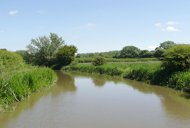
The Ashby Canal near Bramcote, Warwickshire
The canal just sneaks into the corner of this grid square. My position was GPS confirmed, and it was pure chance that I pictured this stretch of water.
At present the canal provides 22 miles of lock free cruising. Originally it went as far north as Conkers (near Moira), but never reached Ashby-de-la-Zouch. Coal was carried on a regular commercial basis until the 1960s. At present the canal stops at Snarestone, though the eight mile stretch to Moira is being (or has been) restored. The canal was opened in 1804.
At present the canal provides 22 miles of lock free cruising. Originally it went as far north as Conkers (near Moira), but never reached Ashby-de-la-Zouch. Coal was carried on a regular commercial basis until the 1960s. At present the canal stops at Snarestone, though the eight mile stretch to Moira is being (or has been) restored. The canal was opened in 1804.
 Map © Crown Copyright")
TIP: Click the map for more Large scale mapping
- Grid Square
- SP4088, 16 images (more nearby 🔍)
- Photographer
- Roger D Kidd (more nearby)
- Date Taken
- Wednesday, 16 June, 2010 (more nearby)
- Submitted
- Thursday, 8 July, 2010
- Subject Location
-
OSGB36:
 SP 400 889 [100m precision]
WGS84: 52:29.8303N 1:24.6880W - Camera Location
-
OSGB36: SP 400 889
- View Direction
- EAST (about 90 degrees)