2010
TL8999 : Peddars Way
taken 14 years ago, near to Threxton Hill, Norfolk, England
This is 1 of 4 images, with title Peddars Way in this square
Peddars Way
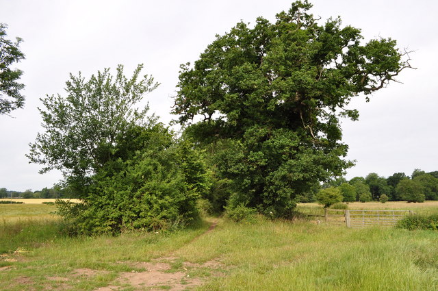
The Peddars Way is a long distance footpath in Norfolk/Suffolk. It is 46 miles (74 km) long and follows the route of a Roman road (not exactly). The name is said to be derived from the Latin pedester on foot. It is first mentioned on a map of 1587 AD. It starts at Knettishall Heath in Suffolk (about 7 km/4 mi east of Thetford near the Norfolk-Suffolk border), and it links with the Norfolk Coast Path at Holme-next-the-Sea. It is now one of 15 National Trails in England and Wales.
 Map © Crown Copyright")
TIP: Click the map for more Large scale mapping
- Grid Square
- TL8999, 48 images (more nearby 🔍)
- Photographer
- Ashley Dace (more nearby)
- Date Taken
- Friday, 9 July, 2010 (more nearby)
- Submitted
- Friday, 9 July, 2010
- Subject Location
-
OSGB36:
 TL 895 992 [100m precision]
WGS84: 52:33.5009N 0:47.6513E - Camera Location
-
OSGB36: TL 895 992
- View Direction
- WEST (about 270 degrees)