2010
TR2169 : Foreshore between Reculver and Beltinge
taken 14 years ago, near to Reculver, Kent, Great Britain
This is 1 of 2 images, with title Foreshore between Reculver and Beltinge in this square
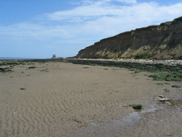
Foreshore between Reculver and Beltinge
Crumbly cliffs and rock, mud and sand foreshore. The towers of Reculver (TR2269) in the distance demonstrating how useful they were as a navigational aid in years past.
See other images of Reculver to Bishopstone Glen
 Map © Crown Copyright")
TIP: Click the map for more Large scale mapping
- Grid Square
- TR2169, 23 images (more nearby 🔍)
- Photographer
- E Gammie (more nearby)
- Date Taken
- Monday, 5 July, 2010 (more nearby)
- Submitted
- Saturday, 10 July, 2010
- Subject Location
-
OSGB36:
 TR 216 691 [100m precision]
WGS84: 51:22.6819N 1:10.9904E - Camera Location
-
OSGB36: TR 213 690
- View Direction
- East-northeast (about 67 degrees)