2010
TR1141 : Wheat Field off Scot's Lane
taken 14 years ago, near to Brabourne, Kent, England
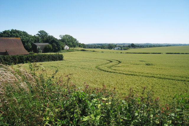
Wheat Field off Scot's Lane
 Map © Crown Copyright")
TIP: Click the map for more Large scale mapping
- Grid Square
- TR1141, 44 images (more nearby 🔍)
- Photographer
- Oast House Archive (more nearby)
- Date Taken
- Saturday, 10 July, 2010 (more nearby)
- Submitted
- Saturday, 10 July, 2010
- Subject Location
-
OSGB36:
 TR 114 414 [100m precision]
WGS84: 51:8.0178N 1:1.2559E - Camera Location
-
OSGB36: TR 114 415
- View Direction
- SOUTH (about 180 degrees)