2010
TM3798 : South Norfolk Fields
taken 14 years ago, near to Loddon, Norfolk, England
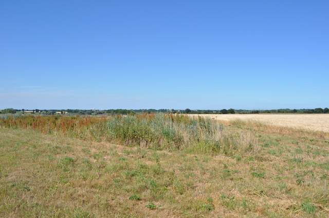
South Norfolk Fields
Near Loddon, Cantley sugarbeet factory visible in the distance.
 Map © Crown Copyright")
TIP: Click the map for more Large scale mapping
- Grid Square
- TM3798, 59 images (more nearby 🔍)
- Photographer
- Ashley Dace (more nearby)
- Date Taken
- Saturday, 10 July, 2010 (more nearby)
- Submitted
- Saturday, 10 July, 2010
- Subject Location
-
OSGB36:
 TM 374 984 [100m precision]
WGS84: 52:31.9323N 1:29.9798E - Camera Location
-
OSGB36: TM 373 982
- View Direction
- Northeast (about 45 degrees)