2010
SY7398 : Dole's Hill Plantation
taken 14 years ago, near to Piddlehinton, Dorset, England
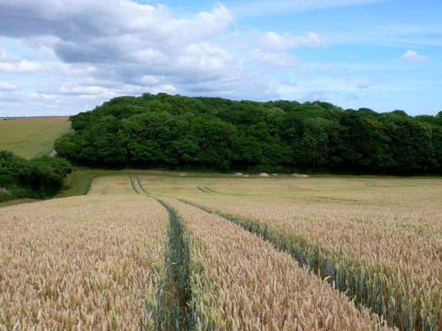
Dole's Hill Plantation
View west across the wheat just starting to ripen to the woods of Dole's Hill Plantation. Along the edge of the wood can be seen the dug soil of a large badger sett.
 Map © Crown Copyright")
TIP: Click the map for more Large scale mapping
- Grid Square
- SY7398, 8 images (more nearby 🔍)
- Photographer
- Nigel Mykura (more nearby)
- Date Taken
- Sunday, 11 July, 2010 (more nearby)
- Submitted
- Sunday, 11 July, 2010
- Subject Location
-
OSGB36:
 SY 735 985 [100m precision]
WGS84: 50:47.1708N 2:22.6372W - Camera Location
-
OSGB36: SY 733 985
- View Direction
- EAST (about 90 degrees)