2010
SY0286 : B3179 on Woodbury Common
taken 14 years ago, near to Woodbury, Devon, England
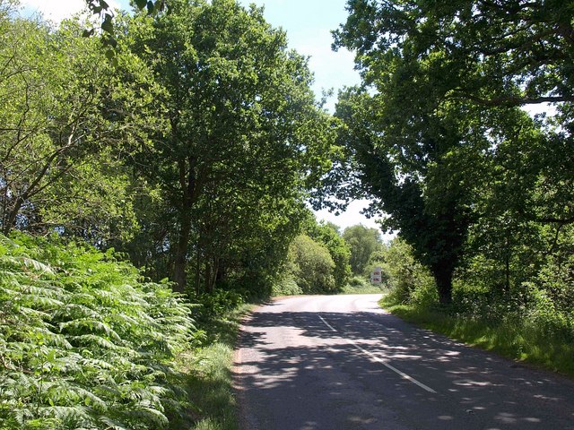
B3179 on Woodbury Common
The B road, seen just above the scene in SY0286 : End of bridleway above Woodbury, is approaching SY0386 : Four Firs junction, as the sign on the corner indicates.
 Map © Crown Copyright")
TIP: Click the map for more Large scale mapping
- Grid Square
- SY0286, 21 images (more nearby 🔍)
- Photographer
- Derek Harper (more nearby)
- Date Taken
- Friday, 9 July, 2010 (more nearby)
- Submitted
- Tuesday, 13 July, 2010
- Subject Location
-
OSGB36:
 SY 0295 8650 [10m precision]
WGS84: 50:40.2030N 3:22.4825W - Camera Location
-
OSGB36: SY 0292 8652
- View Direction
- East-southeast (about 112 degrees)