2010
TR2163 : Footpath towards Island Road
taken 14 years ago, near to Upstreet, Kent, England
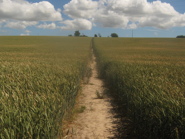
Footpath towards Island Road
This path leads from Hollow Street, over the Nethergong Penn (drainage channel) and then up to the A28 road.
 Map © Crown Copyright")
TIP: Click the map for more Large scale mapping
- Grid Square
- TR2163, 43 images (more nearby 🔍)
- Photographer
- David Anstiss (more nearby)
- Date Taken
- Sunday, 11 July, 2010 (more nearby)
- Submitted
- Tuesday, 13 July, 2010
- Subject Location
-
OSGB36:
 TR 219 631 [100m precision]
WGS84: 51:19.4637N 1:11.0515E - Camera Location
-
OSGB36: TR 219 631
- View Direction
- Southeast (about 135 degrees)