2010
SV8708 : Burnt Island
taken 14 years ago, near to St Agnes, St Agnes & Gugh, Isles of Scilly, England
This is 1 of 2 images, with title Burnt Island in this square
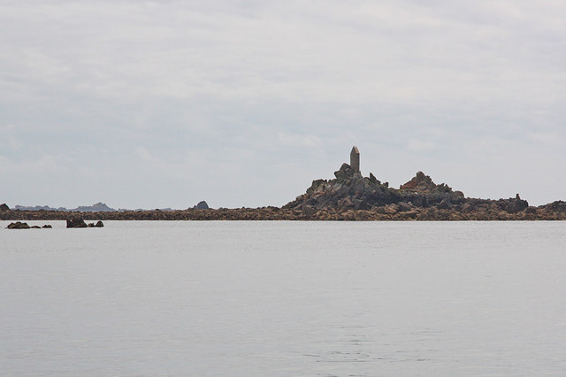
Burnt Island
Burnt Island and the rather incongruous navigation marker
 Map © Crown Copyright")
TIP: Click the map for more Large scale mapping
- Grid Square
- SV8708, 168 images (more nearby 🔍)
- Photographer
- Richard Croft (more nearby)
- Date Taken
- Tuesday, 29 June, 2010 (more nearby)
- Submitted
- Thursday, 15 July, 2010
- Subject Location
-
OSGB36:
 SV 874 086 [100m precision]
WGS84: 49:53.7571N 6:21.2456W - Camera Location
-
OSGB36: SV 878 094
- View Direction
- South-southwest (about 202 degrees)