2010
TR2456 : Wingham Well Lane
taken 14 years ago, near to Wingham, Kent, England
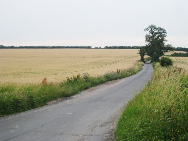
Wingham Well Lane
Towards Bramling and Bekesbourne.
 Map © Crown Copyright")
TIP: Click the map for more Large scale mapping
- Grid Square
- TR2456, 34 images (more nearby 🔍)
- Photographer
- Oast House Archive (more nearby)
- Date Taken
- Tuesday, 20 July, 2010 (more nearby)
- Submitted
- Tuesday, 20 July, 2010
- Subject Location
-
OSGB36:
 TR 240 564 [100m precision]
WGS84: 51:15.7622N 1:12.6019E - Camera Location
-
OSGB36: TR 241 564
- View Direction
- West-southwest (about 247 degrees)