2002
NN5153 : Leagag
taken 22 years ago, 3 km from Finnart, Perth And Kinross, Scotland
This is 1 of 4 images, with title Leagag in this square
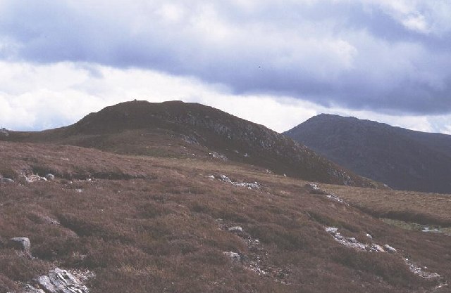
Leagag
Quite unlike its Torridon namesake, a modest moorland peak south of Loch Rannoch. Photo of the summit tump.
 Map © Crown Copyright")
TIP: Click the map for more Large scale mapping
- Grid Square
- NN5153, 7 images (more nearby 🔍)
- Photographer
- Richard Webb (more nearby)
- Date Taken
- June 2002 (more nearby)
- Submitted
- Sunday, 19 June, 2005
- Subject Location
-
OSGB36:
 NN 5182 5392 [10m precision]
WGS84: 56:39.2124N 4:25.1202W - Camera Location
-
OSGB36: NN 5165 5397
- View Direction
- East-southeast (about 112 degrees)