2006
SX5391 : Sourton: the A30 near Sourton Down
taken 18 years ago, near to Sourton, Devon, England
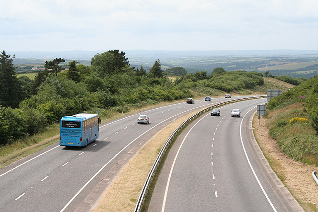
Sourton: the A30 near Sourton Down
The main trunk road to Cornwall nears its summit above the Thrushel valley. Looking west-south-west
 Map © Crown Copyright")
TIP: Click the map for more Large scale mapping
- Grid Square
- SX5391, 14 images (more nearby 🔍)
- Photographer
- Martin Bodman (more nearby)
- Date Taken
- Saturday, 8 July, 2006 (more nearby)
- Submitted
- Saturday, 8 July, 2006
- Subject Location
-
OSGB36:
 SX 5358 9139 [10m precision]
WGS84: 50:42.2198N 4:4.4923W - View Direction
- West-southwest (about 247 degrees)