2006
TR0037 : Open country near Braeside Farm south of Kingsnorth
taken 18 years ago, near to Bromley Green, Kent, England
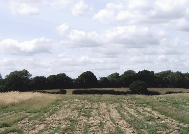
Open country near Braeside Farm south of Kingsnorth
Much of the eastern part of the gridsquare either lies fallow (as seen here) or is used for sheep grazing. Bishops Wood forms the background.
 Map © Crown Copyright")
TIP: Click the map for more Large scale mapping
- Grid Square
- TR0037, 12 images (more nearby 🔍)
- Photographer
- David Kemp (more nearby)
- Date Taken
- Saturday, 8 July, 2006 (more nearby)
- Submitted
- Saturday, 8 July, 2006
- Subject Location
-
OSGB36:
 TR 006 377 [100m precision]
WGS84: 51:6.2096N 0:51.8374E - Camera Location
-
OSGB36: TR 009 379
- View Direction
- West-southwest (about 247 degrees)