2006
SK1256 : Bridleway near Alstonefield
taken 18 years ago, near to Alstonefield, Staffordshire, England
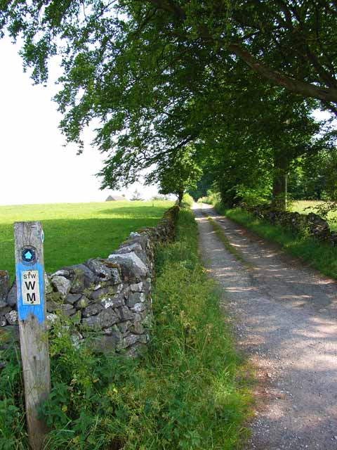
Bridleway near Alstonefield
Off the Hulme End to Alstonefield road
 Map © Crown Copyright")
TIP: Click the map for more Large scale mapping
- Grid Square
- SK1256, 33 images (more nearby 🔍)
- Photographer
- Oliver Dixon (more nearby)
- Date Taken
- Saturday, 1 July, 2006 (more nearby)
- Submitted
- Sunday, 9 July, 2006
- Subject Location
-
OSGB36:
 SK 125 566 [100m precision]
WGS84: 53:6.3869N 1:48.8843W - Camera Location
-
OSGB36: SK 125 565
- View Direction
- East-northeast (about 67 degrees)