2010
SK1134 : St Cuthbert's Church, Doveridge
taken 14 years ago, near to Doveridge, Derbyshire, England
This is 1 of 2 images, with title St Cuthbert's Church, Doveridge in this square
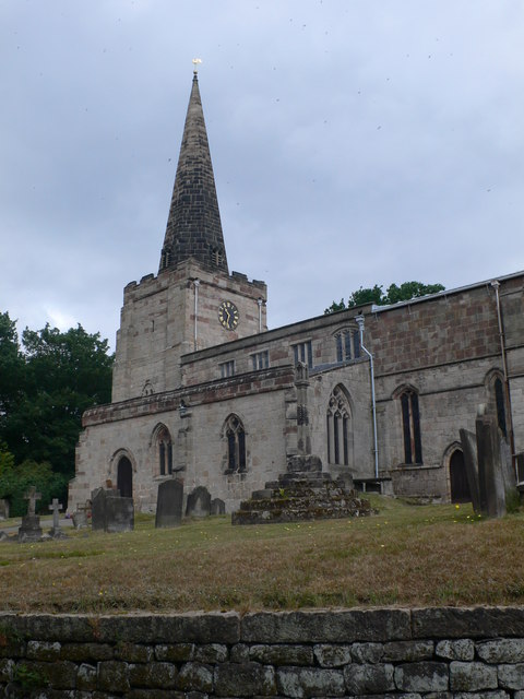
St Cuthbert's Church, Doveridge
The church is located at the end of Church Lane and with a churchyard that extends down to the flood plain of the River Dove. It is grade I listed and dates originally from the 11th century.
 Map © Crown Copyright")
TIP: Click the map for more Large scale mapping
- Grid Square
- SK1134, 53 images (more nearby 🔍)
- Photographer
- Eirian Evans (more nearby)
- Date Taken
- Sunday, 4 July, 2010 (more nearby)
- Submitted
- Sunday, 8 August, 2010
- Subject Location
-
OSGB36:
 SK 1138 3409 [10m precision]
WGS84: 52:54.2477N 1:49.9352W - Camera Location
-
OSGB36: SK 1139 3407
- View Direction
- North-northwest (about 337 degrees)