1970
NF6402 : Borve Point
taken 54 years ago, near to Borve, Barra, Na h-Eileanan an Iar, Scotland
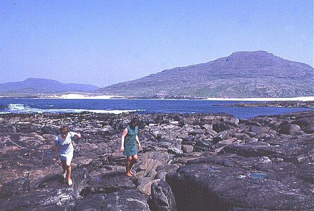
Borve Point
Beinn Mhartain in the background.
 Map © Crown Copyright")
TIP: Click the map for more Large scale mapping
- Grid Square
- NF6402, 8 images (more nearby 🔍)
- Photographer
- Anne Burgess (more nearby)
- Date Taken
- June 1970 (more nearby)
- Submitted
- Wednesday, 12 July, 2006
- Subject Location
-
OSGB36:
 NF 647 022 [100m precision]
WGS84: 56:59.3295N 7:31.3696W - Camera Location
-
OSGB36: NF 646 020
- View Direction
- Northeast (about 45 degrees)